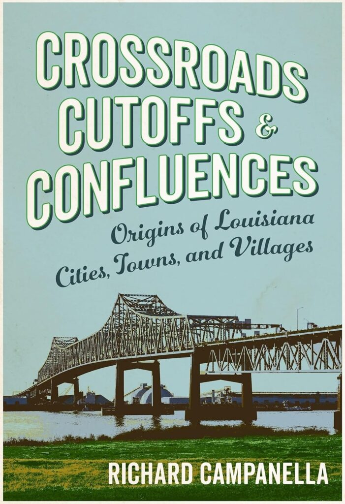
Editor’s note: The following is an edited excerpt from Richard Campanella’s latest book, “Crossroads, Cutoffs, and Confluences: Origins of Louisiana Cities, Towns, and Villages,” published by LSU Press. Please see the original for sources and endnotes.
This book answers the question, Why are we here?, for most of the 4.6 million people who call Louisiana home. It engages geography’s most rudimentary inquiry — the where and why of human settlement — unearthing the initial siting rationales, and the people and impetuses behind them, for cities, towns, villages, and other populated sites statewide.
“Site” can mean many things. To a director, it’s setting and scenography; to an archeologist, it’s an excavation; to an architect, it’s the context of a design; in real estate, it’s location, location, location. To a geographer, site means the absolute location and underlying geophysical characteristics of a human settlement. It is best understood vis-à-vis “situation,” which means relative location — the broader regional ambit of a site, and how strategically it connects with the rest of the world.
“The first task of the geographer,” wrote Robert E. Dickinson, “is to determine exactly the characteristics of the site and situation of a settlement.” Doing so can elucidate the community’s morphology, history, economy, culture, and destiny. A good site in a mediocre situation may never become more than an enclave or hamlet, and Louisiana has lots of those. A good site in a decent situation may yield a sizeable town or city, of which we have many examples. A bad site in a lousy situation usually ends up a ghost town: try visiting Sparta, Louisiana. A lousy site in a fantastic situation is a particularly spirited combination, as New Orleans can attest like few other cities on Earth. Infinite are the gradations therein, and relentless are their changes, as political powers rise and fall, hinterlands develop, markets shift, jurisdictions morph, technologies advance, climate changes, and new opportunities arise. Yesterday’s Venice can become, well, today’s Venice, just as a desert oasis can become Las Vegas, a railroad junction can become an airline hub (Atlanta), and a bayou confluence may become the petrol capital of the world (Houston). And then there are “Zoom towns” …
Geographers have identified scores of siting drivers worldwide and usually make a distinction between unplanned versus planned settlements. Because this book examines location decisions, it focuses on the process of initial site selection, rather than subsequent urban design, be it unplanned or planned. I therefore distinguish between settlements that emerged from the bottom up, versus those that were ordained from the top down.
Emergent Sites
Emergent sites describe settlements that arise spontaneously from people on the move — from their arrivals, overnighting, circumventions, departures, transshipments, or their quest for game, fertile soil, water, or valued resources. Be they colonists, migrants, or travelers, they moved in sufficient numbers through varyingly strategic spaces (read: situation) for some to see an opportunity, build a house, open a store or inn, erect a depot, or launch a ferry at a key spot (read: site) — which might attract more foot traffic and cash flow, thus drawing additional settlers to build more houses, stores, inns, eateries, etc. Eventually the settlement reaches a critical mass to attain a name, a church, a school, a post office, governance and an urban layout.
Sites that emerge in this organic manner tend to have no famous founder or official charter; rather, they materialize through the collective action of ordinary people seeking to minimize exertions in the pursuit of better lives. The coin of the realm is access, defined as the “relative quality accruing to a piece of land by virtue of its relationship to a system of transport [or] centrality or nearness to other functions and locations.” Such settlement sites often entail where cargo must be carried, repackaged, or stored before proceeding to its destination, called break-of-bulk points. They include portages, shortcuts, cutoffs, minimum distances (“perigees”), ports and harbors, forks and confluences, fords, ferry landings, river mouths and heads-of-navigation — that is, the farthest point up a waterbody reachable by contemporary vessels before encountering shallow drafts, shoals, logjams or waterfalls. Settlements may also emerge wherever humans pause, funnel, or linger: at crossroads, bridgeheads, springs, or nighttime stopovers; at grist mills, resource sites; at topographical passes (“gap towns,” of which Louisiana has one example); or just above the head of tides, meaning the lowermost freshwater before salinity becomes detectable. …
If an attractive situation offers no habitable site, the nearest viable site lands the settlement. In the face of flood risk, such places are known as dry-point sites (or “first high ground”), of which Natchitoches, St. Francisville and Opelousas are examples. If lack of potable water is the limitation, the nearest alternative is called a wet-point site, which describes Louisiana’s spring-based settlements, some of which went on to become resorts. At the coastal fringes or the edges of swamp basins, settlements may emerge at island sites or land’s-end sites, which served as jumping-off points into adjacent spaces with resources but without habitability, such as swamps, bays, or gulfs. Venice, Grand Isle and Cocodrie are examples.
Sites may also emerge in response to the spatial distribution of neighbors. What result are settlements occurring at regular increments along arteries — the so-called “five-mile” or “ten-mile towns” — or in array-like patterns, in which each node aggregates rural denizens needing services, supplies, capital, post offices, schools, courts or religious services (“Sunday towns”). …
Ordained Sites
Ordained settlements grow similarly to emergent settlements, but they start differently, originating from the top down by an empowered authority. … In Louisiana, ordained siting occurred during the imperial and colonial phase of settlement, starting in the 1710s, when those doing the ordaining tended to be governing officials and military leaders. Their first tactic was to ally themselves, however duplicitously, with natives, for their valuable field knowledge. “The greatest benefit that the Europeans acquired from their Indian predecessors was a landscape that had already been used,” wrote Louisiana geographer Milton B. Newton. “Indian humanization of the landscape greatly softened the wilderness[;] Indians had already discovered and marked trails to most important places,” and colonials often “found that their choice sites of settlement, though by then usually abandoned, had been occupied and identified by the natives.” St. Denis’ establishment of Natchitoches and Bienville’s founding of New Orleans exemplify ordained sites of this period. Both men were under orders traceable to the French crown, and both selected sites initially pointed out by indigenous informants. They raise questions of who really did the ordaining, and who ought to be credited for the siting.
Ordained siting continued through the mid-1800s under new agents and rationales. As American political authorities divvied Louisiana into civil jurisdictions, they aimed to position administrative centers for maximum convenience, such that most residents could ride horseback to the courthouse and return home within a day. While that left a lot of wiggle room, it usually meant the geographical center of the jurisdiction or its population distribution. This convention was practiced nationwide, and it produced a key element of American political geography: the centralized county seat, a.k.a the courthouse town or shire town. Louisiana’s version had a distinct nomenclature, as American-style counties had given way to civil units based on Catholic ecclesiastic parishes. But the centrality intent was the same in positioning the parish courthouse. Because the State Legislature often reconfigured parishes, shrinking the nineteen original super-sized units designated in 1807 by carving out an additional 45 parishes by 1912, seats of justices changed as well. Winning that designation brought with it civic pride, an iconic courthouse, and a slew of good jobs — a justice of the peace, clerk of court, tax assessors, a school board, sheriff and jail keepers, maintenance workers, as well as spillover support services. All that bureaucracy generated foot traffic, as citizens trekked in to serve on juries, sign paperwork, pay taxes, file lawsuits or get married. The traffic, in turn, invigorated cash flow — lunch at a diner, a deposit at the bank, a purchase at the store, a beer at the tavern. For many seats of justice in rural Louisiana, parish administration is the local economy, and spatial centrality was the sole rationale behind the ordaining. Conversely, getting de-ordained as a parish seat could kill a courthouse town, because beyond administrative centrality, its site probably had no other reason for getting selected.
Ordained sites surged in Louisiana during the late 1800s through early 1900s. The ordainers this time were not wearing epaulettes or legislating from the state capitol; now they donned cutaway frocks and pored over maps in paneled offices. Capitalists in this era built railroads, timber mills, sugar mills, cotton gins, mines, oil derricks, factories, and real estate developments, and what resulted were hundreds of train-stop towns, company towns, gin towns, mining and mill towns, and residential subdivisions.
Ordained sites in general tend to have succinct siting stories and fixed establishment dates, with documents to back them up. But despite the lordly air of those who selected the sites, the rationales at play were usually just as geographically pragmatic as those that emerged from pioneers guiding oxcarts or paddling pirogues. St. Denis’ Natchitoches and Bouligny’s New Iberia, for example were both ordained at heads-of-navigation sites; Bienville’s New Orleans was ordained at an ancient indigenous portage; and every lumber or oil town was ultimately predestined for wherever nature put the pines or petrol.
Emergent and ordained processes can occur sequentially or entwine intricately. Some emergent settlements later got “nudged” to nearby ordained railroad stations (examples include Kinder, Mermentau, and West Monroe) or wood mills (Krotz Springs, for instance). Some ordained sites managed to secure the sort of natural advantages typically associated with emergent sites; witness how Bastrop began as an administrative center but became an industrial hub, or how Baton Rouge began as a fort but became a port and administrative center. A few sites emerged from natural advantages but happened to fit the bill as administrative sites, such as Franklin on Bayou Teche. Still others gained traction thanks to the synergy of multiple factors, with no one reason prevailing: to wit, the stopover that gained a store and a church and then attracted settlers; the landing that attained a cotton gin and became a trade center; the crossroads that got a school and became a locus. …
Siting Stories
As fundamental as settlement siting is to the human story, articulating why we live where we live seems to elude our discourse. Folks feel more obliged to memorize hometown trivia than to understand the provenance of their own inhabitation. It doesn’t help that the subject lacks a clear consistent lexicon. Shall we call it “siting geography,” or “settlement geography?” “Spatial rationale,” “geographical etiology,” or “the location of cities”? Should we speak of “town types,” as did Newton, or use awkward phrases like “why cities arise where they do,” or “why cites form at their locales”? …
Sensing an inquiry in need of a vocabulary, I offer the term “siting stories” in the hope of encouraging more talk about this fascinating subject — one shared by every human being who has ever had a neighbor, but also one prone to seeming arcane and even unfathomable. People no longer reside in Alexandria, for example, because they could not row their keelboat past the Red River rapids; nor do they reside in Breaux Bridge on account of Breaux’s bridge, or in Cut Off because its canal cut off days of travel. Yet every resident of those communities can trace every movement of their everyday lives to those forgotten reckonings, made at a time when history cast those geographies as critical to the comings and goings of their forebears.
RICHARD CAMPANELLA, a geographer with the Tulane School of Architecture and Built Environment, is the author of sixteen books about New Orleans and Louisiana history, geography, architecture and culture. He may be reached at richcampanella.com, [email protected] or @nolacampanella on X.