Sustainable urban water management has been a priority ever since local architect David Waggonner and colleagues brought attention to the topic through their Dutch Dialogues symposia 15 years ago. The basic idea — to design cities so that gravity and landscape participate maximally in the retention of stormwater runoff, reducing the burden on mechanized infrastructure — had to be relearned locally, as engineers of the 1700s and early 1800s had no choice but to design New Orleans in precisely this manner.
Among them were Adrien de Pauger, Ignace-François Broutin, Jacques Tanesse, and Gilbert Joseph Pilié. Their method entailed a network of carefully gradated ditches built around city blocks to capture and steer runoff backward to outfall channels across the backswamp and out Bayou St. John (or Bayou Bienvenue, for areas east of the Bayou Road/Esplanade Ridge) and into Lake Pontchartrain (or Lake Borgne).
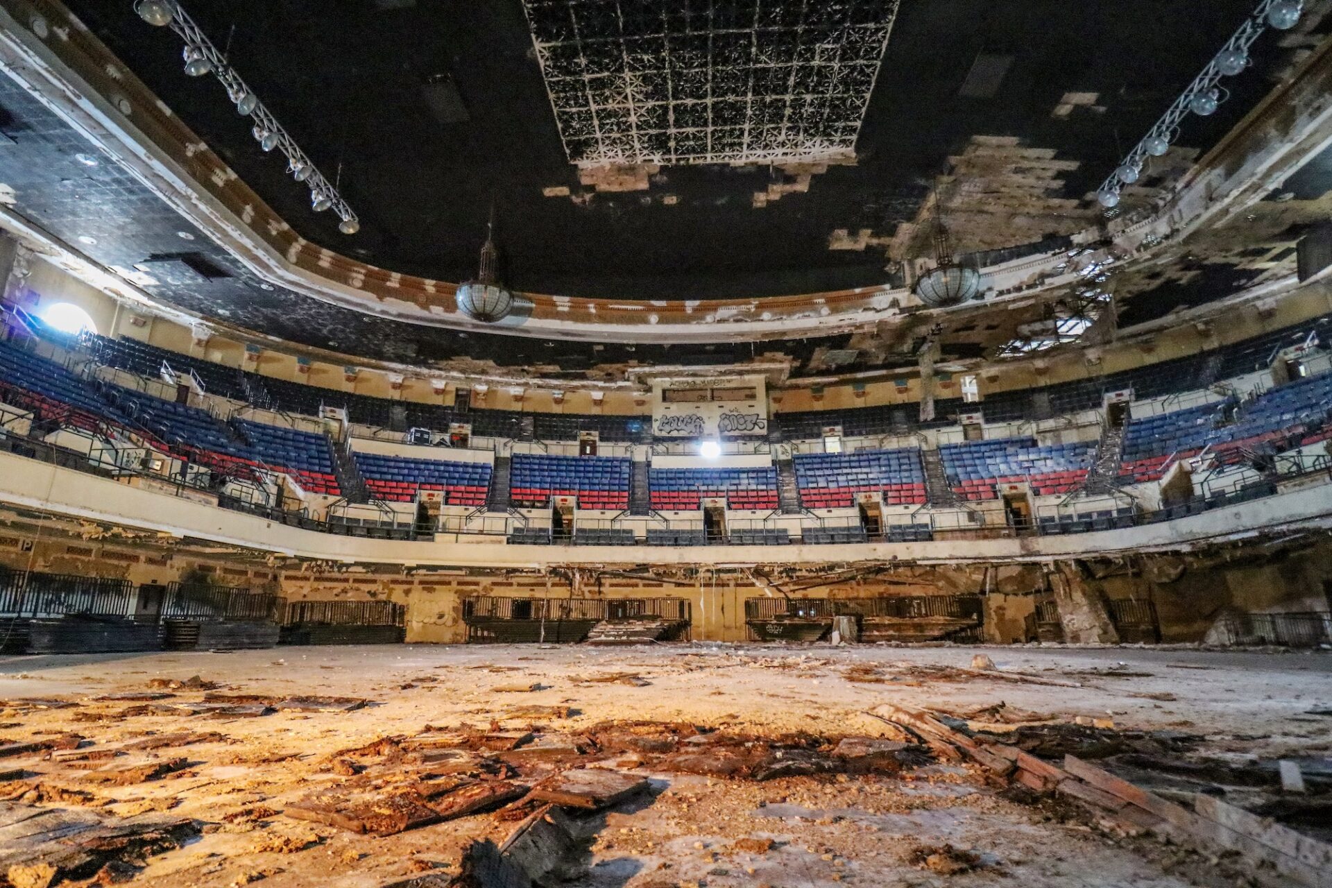
Simple in theory but tough to execute, gravitational drainage depended on construction quality, surface treatments, declivity, capacity, precipitation intensity, and most of all, maintenance. Rarely did all of those variables get handled perfectly. What resulted was a rather muddy mess much of the time, and on some occasions, laughable glitches such as “Lake Poydras,” along Poydras Street from St. Charles to Magazine, described in 1844 as “perhaps one of the greatest achievements of civil engineering of which the present age can boast.”
One particular ingénieur géographe endeavored to bring urban beauty as well as good management to the hydric soils of New Orleans. Barthélemy Lafon, born in 1769 in France near the Spanish border, gained expertise in surveying and engineering while studying Classical civilization in preparation for service to his king. With outbreak of the French Revolution in 1789, Lafon fled and found safe harbor in the Francophile society of Spanish New Orleans.
Equipped with the right technical skills, the bilingual Lafon found plenty of work. Cabildo records show him contracting to build levees, drainage ditches, bridges, a fish market and a jail. After the 1794 fire, Lafon designed and built a number of Spanish-style structures in today’s French Quarter, some of which still stand. He also became a landowner, businessman, and land speculator. Yet in retrospect, it seems as though he was biding his time, waiting for history to catch up with his lofty aspirations.
In an age before disciplinary silos, Barthélemy Lafon was the rare jack-of-all-trades who mastered many, among them engineering, geography, surveying, city planning, hydrology, cartography, architecture, builder, sailor, and impresario. In the opening years of the 19th century, as Louisiana went from Spanish to French to American, he comes across as almost omnipresent. He’s mapping the Mississippi River watershed, laying out a town (Donaldsonville), planning neighborhoods (the Faubourg Marigny, among others), designing buildings, sketching forts, surveying properties, issuing procès verbal, buying and selling land, serving in the military, running for office, compiling a city directory, fathering a mixed-race family, and all the while “engag[ing] actively in the city’s social, cultural, and political life,” according to historian Ina Fandrich and anthropologist Jay Edwards in their research report, “Barthélemy Lafon in New Orleans 1792-1820.”
Lafon’s greatest contribution was his creation of what is now known as the Lower Garden District. It arose from a rare opportunity: four large contiguous plantations, ripe for urbanization, all coming onto the market at the same time. One, along today’s Howard Avenue, came into the hands of Madame Silvestre Delord-Sarpy, who in 1806 decided to have it subdivided. She hired Lafon to design “Faubourg Delord,” but just as he completed the sketch, Delord-Sarpy sold her parcel to Armand Duplantier, who in 1807 re-hired Lafon to update his work. Around this time, the families owning the next three adjacent plantations — the Saulet (Solet), Robin, and Livaudais clans — also decide to urbanize. Lafon went ahead and developed a full-blown plan spanning all four plantations.
Drawing from his Classical training, Lafon turned the faubourgs Duplantier (formerly Delord), Saulet, La Course (Robin), and Annunciation (Livaudais) into something of a Grand Manner Plan. It featured diagonal streets (present-day Annunciation/Tchoupitoulas, Prytania/Camp, and Camp/Coliseum) designed to impart drama by drawing the eye to prominent nodes and parks. He created Place du Tivoli as a rotary (now Harmony Circle) unifying four radials, with the circular park itself intended for water fountains and amusements like those of the Villa Tivoli near Rome.
Lafon also created a traditional plaza (Place de Annunciation) fronted by space for an eglise (church), matching the parks in the city’s three other neighborhoods. He created a riverfront emporium at Place du Marche (hence Market Street) and another one farther back, on Cours de Dryades straddling Rue Melpomene, which would later become the Dryades Market. He made space for a Classical college, or Pritanee (thus Prytania Street) and an outdoor collesée for public gatherings (thus Coliseum Square). His gazetteer drew liberally from Greek and Roman mythology, as he named streets after the gods Hercules, Apollo, Bacchus, and Triton; the nine Greek muses; and the nymphs of water (Nayades or Nyades, now St. Charles Avenue) and forests (Driades or Dryades, now Oretha Castle Haley Boulevard).
Lafon’s “best talents and imagination,” according to architectural historian Samuel Wilson Jr. (who in 1961 coined the term “Lower Garden District” for this area), went into turning utilitarian drainage needs into beautiful landscape features. In prior years, the words “beauty” and “drainage” were rarely said in the same sentence in New Orleans, be it in French, Spanish, or English. But consider how Barthélemy Lafon handled runoff: it would flow into a scenic Amsterdam-style open canal on what is now Camp Street and connect with a semicircular water-storage bassin, which would then gravitate through the neighborhood via a tree-lined open canal on Rue Melpomene and eventually out Bayou des Cannes, a tributary of Bayou St. John running roughly along today’s Calliope Street. A similarly landscaped canal would, according to researcher Harnett T. Kane, steer water to “flow gracefully around [Tivoli] Circle, much like a well-planned stream in a formal French garden,” out a grand canal in the middle of Cours des Tritons (Tritons Walk, today’s Howard Avenue, thus its great width), and disperse in the woods by the present-day Superdome. Combined with green spaces and colorful nomenclature, Lafon produced, according to Wilson, “an environment of classical beauty and formality in one of the earliest expressions of the Greek Revival to appear in New Orleans, [of which] water was an essential element.”
Lafon’s street network came to fruition by 1811, and many of his Classical toponyms still grace the map. But most of his best features do not. Tivoli eventually got a monument, but not amusements; Annunciation Place never got its church; and neither the market on Market, the amphitheater at Coliseum, nor the prytaneum on Prytania were ever built. Evidence suggests his canals eventually fell in line with the squalor New Orleanians had come to expect from their drainage system.
Nevertheless, his urban vision made for an interesting and livable neighborhood, particularly around Coliseum Square — “planted with luxuriant trees,” wrote resident Thomas K. Wharton in the 1850s, “surrounded with beautiful houses, and gardens filled with the choicest flowers.” As for Lafon’s Camp Street catch-basin, it had an erratic history, including a time in 1881 when the city installed underground brick chambers to store runoff. Sidewalk repairs in the mid-2010s accidentally broke open the tops of these vaults, revealing their interior vaulted brickwork as if one were peering into the imaginative mind of Barthélemy Lafon.
Alas, that mind sometimes wandered into treacherous territory. The same interregnum period that gave this man of ambition so many opportunities also presented him with lucrative temptations. Louisiana in the early 1800s “ranked among the New World’s worst scofflaws,” wrote historian Lawrence Powell. “The entire economy was steeped in smuggling[;] it thrived on contraband trade.” Nearly everyone, from merchants to mothers, partook of the black market; it was hardly scandalous. But for a black market to exist, someone had to do the dirty work—and chief among them were the “hellish banditti” (as Maj. Gen. Andrew Jackson later called the Baratarian smugglers) operating under the command of the brothers Jean and Pierre Lafitte.
Crossing paths possibly through their mutual membership in the Masonic Order, Lafon got involved with the Lafittes “at different times,” according to Jay D. Edwards, “command[ing] at least four armed raiders whose names have been recorded.” The biggest money was on slave smuggling, which became main racket of both the Lafitte brothers and Lafon. It is difficult to reconcile the Classical designer pondering his Greek muses by day, and the profiteering pirate trafficking human beings by night.
Lafon probably would have gotten away with it were it not for the War of 1812. As British military planners scanned their maps, the Barataria region became a potential theater of war, and the Lafitte brothers’ privateers could become combatants. The Americans thus sent Master Commandant Daniel Todd Patterson on a preemptive raid of their lair at Grande Terre. It must have come as a shock to the Americans to find, among the surly and unkempt pirates, none other than the former acting Deputy Surveyor of the American Territory of Orleans, Barthélemy Lafon.
Lafon tried to make amends, by building fortifications and sketching maps for the approaching Battle of New Orleans in January 1815. But afterwards he found himself ostracized, and his work dried up. He decamped with the Lafittes to Galveston, which at the time pertained to New Spain, and entangled himself in espionage, filibustering, and piracy, at times paid by the Spanish Crown.
Lafon returned to New Orleans in 1818, only to struggle with his assets and despair over the subjugation of his mixed-race family. He died of yellow fever in September 1820, and is entombed in St. Louis Cemetery No. 1, halfway between his two premier local projects: the Faubourg Marigny, and the Lower Garden District.
As for gravitational drainage, the beginning of its end came in 1835, with the introduction of the first steam-driven drainage paddles, and more so in the early 1900s, with the installation of the gigantic electrical pumps still in service today. These devices swiftly dewatered the backswamp and allowed New Orleans to expand in way that would have dazzled the engineers of old. But they also dried out the soils, sinking them below sea level, and paved the way for people to move into areas of increasing flood risk. Now we have a uniquely anti-gravitational drainage system, in which pumping machines must push runoff uphill into an outfall that is higher than half the city. And when they prove inadequate, we have modern “Lake Poydras” equivalents all over town.
All the more reason we need to relearn simpler, more sustainable water management techniques, like those of Barthélemy Lafon.
RICHARD CAMPANELLA is a geographer with the Tulane School of Architecture and author of Draining New Orleans; The West Bank of Greater New Orleans; and Bourbon Street: A History (LSU Press), and The Cottage on Tchoupitoulas from the Preservation Resource Center. Campanella may be reached through richcampanella.com, [email protected], or @nolacampanella on X.