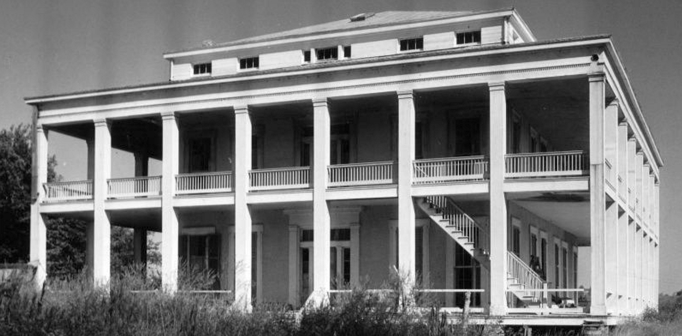
A recent PRC investigation found more than 6,000 vacant housing units in New Orleans, of which 79 percent have sat empty for three years are more. Those empty homes are presumed habitable with relatively minor investments and not to be confused with the more than 20,000 blighted residential units citywide. We opted for a conservative methodology, which relies on reporting from the U.S. Postal Service via HUD and the marketing firm Valassis via The Data Center. In actuality the number of empty homes, and particularly downtown apartments, is likely even greater. Bringing these homes back to use should be a key goal for a city struggling to provide adequate, affordable housing.
Click here to view a tutorial slideshow in a new window.
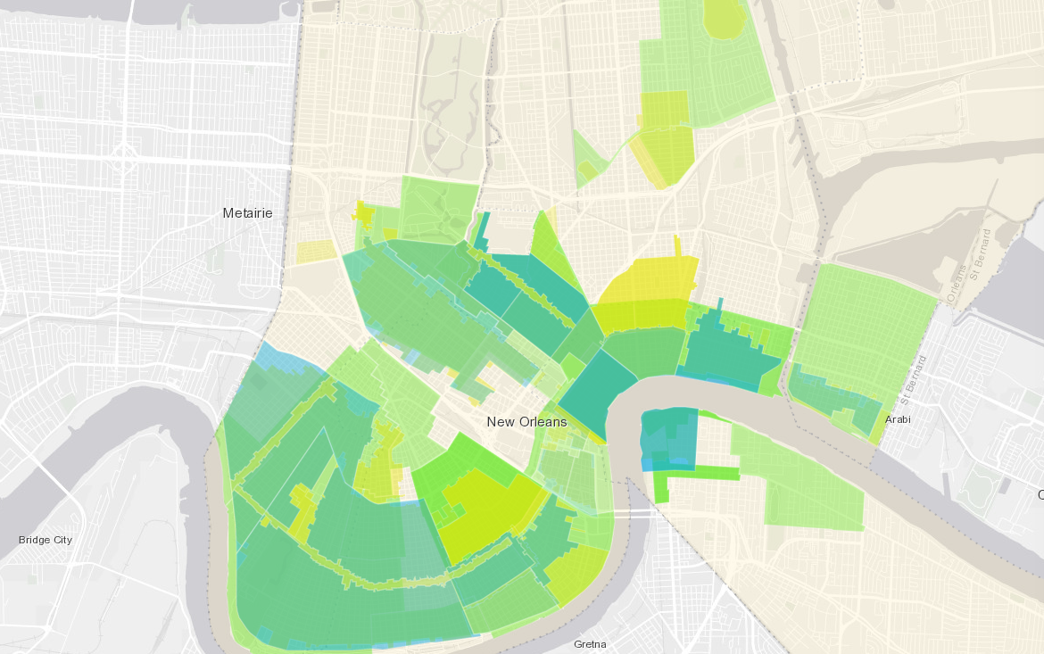
To help you better understand the data, we created an interactive, online map. The map shows data on housing vacancy and blight (using the HUD-USPS designation “no stat” as a proxy for blight). Using the tool, you can view totals by local historic district, city council district, state cultural district or National Register district. Here are a few tips for exploring the tool:
- Use the Content tab on the menu at screen left to toggle layers on and off
- Click Details to view or hide the menu at screen left
- Use the scrolling feature on your mouse or + and – icons to zoom in and out
- Click a district to view a pop-up showing vacancy totals
- Scroll through multiple pop-ups using the arrows in the upper right corner
- Hover over the pie charts in the pop-ups for labels and totals